


Maps
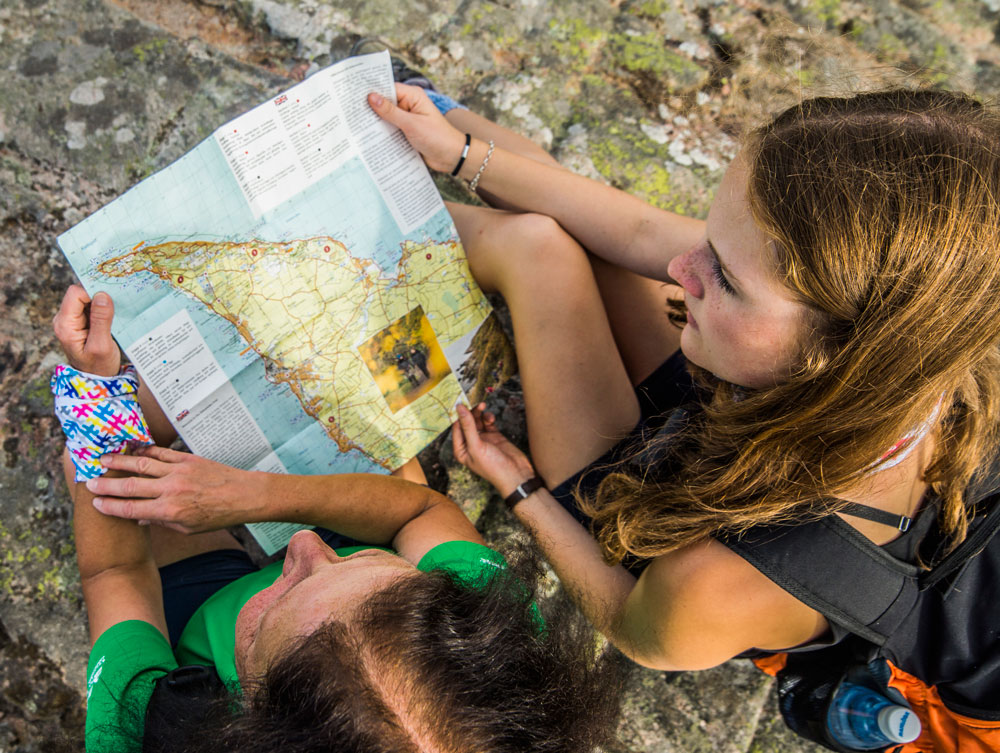
Get a printed map!
The total length of the SL 5 trail is 114 km, divided into 9 stages (Kullaleden section 1-6, 70 kilometres). Detailed map 1:50,000 with brief stage text, explanation of symbols and general information in Swedish and English. Durable and waterproof. Available at Book shops or order from Skåneleden’s website:
Also read more at Skåneleden website, Kullaleden (certified) from section 1-6 – Öresundsleden.
Here is also a new mapping tool for hiking in Skåne – Kullaleden north west with the light house on the edge..
Overview
We also have published the trail gpx at Ourdooractive
The Skåneleden trail system
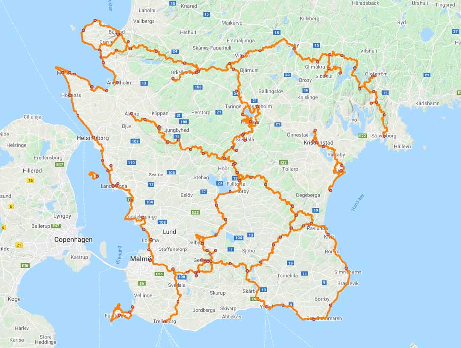
Show Skåneleden on a larger map
Grading
Kullaberg (from Mölle to Kullen Lighthouse and back to Arild):
Undulating terrain, steep sections on nature trails exist. (+)
Other:
Easy – varied terrain with only minor height differences, more than 50% of the stretch runs on nature trails. (-)
In the Helsingborg city there will be stairs.
There are signs in all the village harbours with information about the local sights as well as a detailed map.
Download a map
Download a copy of the sign with an overview map and information for Kullaleden. Perfect for use in your phone or iPad.


